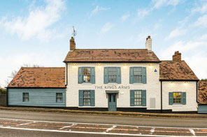
Denis led a walk of 6.6 miles (10.6 km) starting on Sun 4 May from The King's Arms, Knowle, B93 0EE. The route has fields, very old paths and some quiet road and canal walking. There are a few stiles, and there are horses and sheep in some of the fields.
See below for a photo album, a map of the route and a Google Map of the start point.
Click the Learn more button above to open the map in Outdooractive from where you can download the route to the free Outdooractive App for Android or iOS, or export the route to a GPX file for use in other apps.
For more about using Outdooractive, a list of all our routes with GPS files, and a link to folder with all our GPX files including HHIK0134.gpx, the file for this route, see GPS Routes.
