A hike of around 8 miles (13km) led by Evan Grant starting from The Greyhound Inn, Sutton Stop, Coventry CV6 6DF (Google Maps) on Sun 23 Mar.
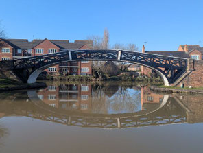
The route follows Warwickshire's Centenary Way along the Oxford Canal to Ansty and then crosses fields and follows quiet roads to Barnacle. The walk then follows A Coventry Way to the Coventry Canal where it re-joins the Centenary Way and follows the towpath back to Hawkesbury Junction and The Greyhound.
Parking is available at The Greyhound for those who will also eat or drink there. Otherwise try the Canals & River Trust car park on the canal side of the road just before the pub.
See below for a photo album, a map of the route and a Google Map of the start point.
Click the Learn more button above to open the map in Outdooractive from where you can download the route to the free Outdooractive App for Android or iOS, or export the route to a GPX file for use in other apps.
For more about using Outdooractive, a list of all our routes with GPS files, and a link to folder with all our GPX files including HHIK0132.gpx, the file for this route, see GPS Routes.
