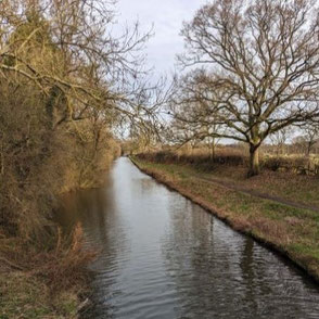
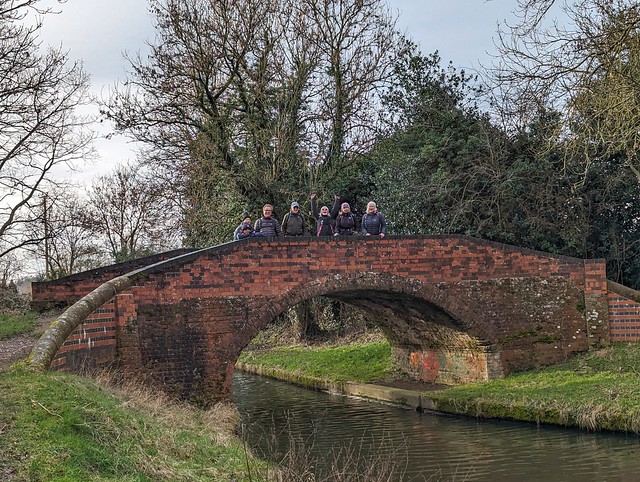
Evan Grant led this walk of 14.2km (8.8 miles) from The Black Boy (Warwick Road, Knowle, Solihull, B93 0EB - directions in Google Maps) on Sun 28 Jan. The route follows the Grand Union Canal before turning up the Stratford Canal and following footpaths and quiet roads past Packwood House and St Giles Church to Dorridge Park. The route continues along Dorridge streets and through some more fields before re-joining the Grand Union at The King's Arms and finishing back along the towpath. There are some kissing gates and stiles, a couple of which are not dog-friendly. There were several places that were very muddy when we did this walk.
A map of the route and a link to a GPX file follow below the photo album.
Click the Learn more button above to open the map in Outdooractive from where you can download the route to the free Outdooractive App for Android or iOS, or export the route to a GPX file for use in other apps.
For more about using Outdooractive, a list of all our routes with GPS files, and a link to folder with all our GPX files including HHIK0107.gpx, the file for this route, see GPS Routes.
