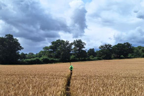
This walk of around 9 miles was led by Tas Hind from the Hatton Arms car park, CV35 7JJ, on Sun 16 Jul. Some 50% of the route follows the towpath of the Grand Union Canal, the remainder being on rural footpaths around the villages of Little Shrewley and Hatton.
A map of the route and a link to a GPX file follow below the photo album.

Click the Learn more button above to open the map in Outdooractive from where you can download the route to the free Outdooractive App for Android or iOS, or export the route to a GPX file for use in other apps.
For more about using Outdooractive, a list of all our routes with GPS files, and a link to folder with all our GPX files including HHIK0093.gpx, the file for this route, see GPS Routes.
Note that we also walked this route on 3 May 2026 and (in the reverse direction) on 12 Feb 2023. This walk appears (also in the reverse direction) as "Country Walking: Hatton Locks, Warwickshire" on the OSMaps website.
