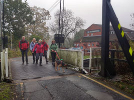
This walk of just over 9 miles was led by Evan Grant on Sun 6 Nov from the car park of the Drawbridge Inn (5 Drawbridge Road, Shirley, B90 1DD - Google Maps. Note: the car park entrance is on Haslucks Green Road).
The route begins by crossing the Stratford-upon-Avon Canal over the Shirley Drawbridge, then skirts Hollywood and goes through Wythall before crossing Fulford Heath Golf Club to Tanner's Green. It then crosses fields to Clowes Wood and follows the edge of Terry's Pool and Earlswood Lakes to Lady Lane and the canal. The route then follows the towpath to Dickens Heath and cuts through the village centre before returning to the towpath and following it back to and over the Shirley Drawbridge to the Drawbridge Inn.
The route was good underfoot when walked, but is likely to be very muddy in places during the winter. Note that there are a few awkward stiles near the start of the walk, and that the route passes through several fields with horses,
A map of the route and a link to a GPX file follow below the photo album.

Click the Learn more button above to open the map in Outdooractive from where you can download the route to the free Outdooractive app for Android or iOS, or export the route to a GPX file for use in other apps. A GPX file for this route can also be downloaded from here. For more about using Outdooractive, and a list of all our routes with GPS files, see: GPS Routes
