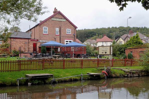
A 10 mile walk from The Red Lion at Hopwas led by Bob Reid on Sat 14 Aug, 2021. The walk starts with a short stretch of the Birmingham & Fazeley Canal soon transferring to a country lane for a little over a mile to a fruit farm. From there it passes along rural footpaths back to a four mile stretch of lanes and roads to and through Drayton Bassett and Bullock's End. The route then crosses the Coleshill Road and goes over the folly-like Drayton Footbridge, complete with turrets and spiral staircases, to the Birmingham and Fazeley Canal towpath which it follows to Fazeley Junction and then back to The Red Lion continuing along the Birmingham & Fazeley Canal towpath once more.
A map of the route and a link to a GPX file follow below the photos.

Drayton Footbridge, Drayton Bassett, Staffordshire: this decorative Gothic style folly of a footbridge allows access from Drayton Bassett village to the towpath of the Birmingham and Fazeley Canal. A swing bridge just beyond allows farmers access to fields to the east (right) of the canal. The Heart of England Way long distance footpath uses this route from here, southwards, before leaving the canal near Kingsbury.
(Attribution: Roger Kidd / Drayton Footbridge, Drayton Bassett, Staffordshire /

Drayton Footbridge and and the adjacent swing bridge.
(Attribution: Oosoom at en.wikipedia / CC BY-SA 3.0 / via Wikimedia Commons)
Click the Learn more button above to open the map in Outdooractive from where you can download the route to the free Outdooractive app for Android or iOS, or export the route to a GPX file for use in other apps. A GPX file for this route can also be downloaded from here. For more about using Outdooractive, and a list of all our routes with GPS files, see: GPS Routes
