This walk is a loop of 6.4 miles from The King's Arms, Knowle, B93 0EE. The route starts along the Grand Union canal towpath and continues for 2 miles to Rising Lane bridge where it leaves the canal and proceeds to Packwood House and then back to the Grand Union via Packwood Road and Bakers Lane.
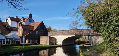
A map of the route follows below a selection of photos taken by Mary Coles on the walk. Many thanks to Tas Hind for leading.
Click the Learn more button above to open the map in Outdooractive from where you can download the route to the free Outdooractive app for Android or iOS, or export the route to a GPX file for use in other apps. A GPX file for this route can also be downloaded from here. For more about using Outdooractive, and a list of all our routes with GPS files, see: GPS Routes
We chose the route described above over an 8.3 mile loop originally planned (route description, map) because of the muddy conditions. When we walked the route above we also took a couple of detours; anyone who wants it can find a GPX file of the actual track we followed here.
