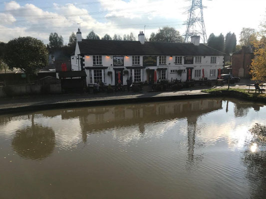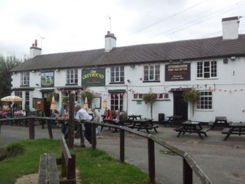
This walk starts from The Greyhound pub at Hawkesbury Junction, CV6 6DF, and is approximately 9.6 miles long.
The first 3 miles follows the towpath of the Oxford Canal east of Sutton Stop to Ansty from where it strikes north to the village of Barnacle continuing to Bulkington. From Bulkington the walk goes east to the Centenary Way which follows the Coventry Canal south back to the Greyhound pub.
A map of the route follows below the route description and the photos.
Directions
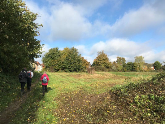
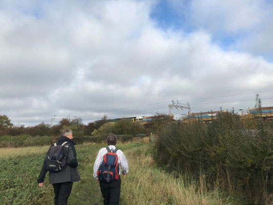
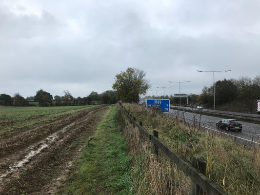
Leave the car park and pass in front of the Greyhound Inn to the Oxford Canal towpath, continue along the towpath for 3 miles. After passing underneath the motorway bridge continue along the towpath for about 1/4 mile and then take a side road on the right just prior to the next bridge; walk along the side road for 100 yards and then take a lane on the left just before meeting the main road. The lane leads back to the canal with steps to the right leading up to the bridge on the main road, climb the steps and turn left over the bridge and continue along the footpath to a yellow topped post by a kissing gate on the left, go through the gate following the Coventry Way sign and walk towards the canal. Follow the canal edge all the way back to the motorway bridge, pass under the bridge and follow the footpath through a kissing gate and then alongside the motorway, through a second gate until a hedge is reached, here turn left keeping the hedge on the right, at the end of the field go through a gap in the hedge and maintain direction across the next field again with the hedge on the right. When reaching a road, turn left and walk along the road.
After approximately 100 yards go through a gateway on the right following Coventry Way signs then go through a kissing gate to the left leading to another kissing gate, through the second gate turn right along a path between a cultivated field and a low wire fence (this path may be overgrown) and continue following Coventry Way signs. The low wire fence becomes a wooded area on the right and after a bit the path dog legs right and left still following Coventry Way signs to a road in the village of Barnacle. Turn right on the road which leads to a village green, cross the green and turn left to an entrance into a field again marked as the Coventry Way. Follow this footpath for a short distance when it comes out onto a road on the other side of the village, turn right along the leaving the Coventry Way.
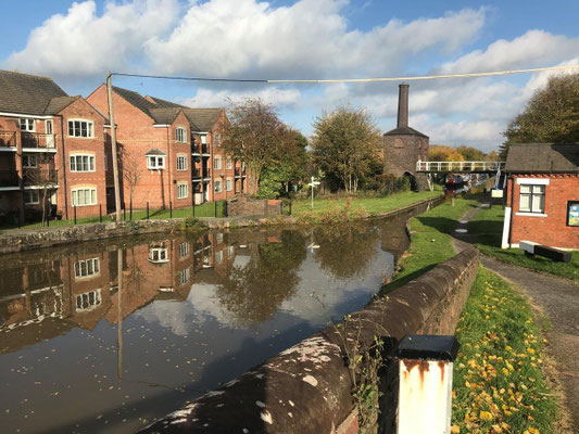
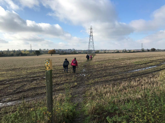
Walk about 1/4 mile along the road and when the road turns sharp left take the kissing gate onto a footpath straight ahead towards the railway. Maintain direction with the hedge on the right and pass under the railway, after the railway keep maintaining direction along the footpath, after a bit the hedge finishes but the path continues in the same direction across the middle of a large field, after a bit the path appears to swing to the right, ignore this and keep maintaining a northerly direction towards a gap in the hedge in front; pass through the gap into a piece of rough pasture which leads into Bulkington. As you enter Bulkington go straight ahead along Barnacle Lane and look for Chequer Street on the left, turn down it and follow along it to the end, here turn right along Coventry Road to the end and then turn left along School Road. Cross over School Road at the zebra crossing and continue along it on the RHS to Weston Lane. Turn right into Weston Lane and walk along the LHS pavement until Weston Hall is reached, turn left in front of Weston Hall along Mill Lane. Follow Mill Lane to the end and go through a gate on the right at the end into a field and follow the path with a hedge on the left, turn left at the hedge corner still keeping the hedge on the left. At the end of the hedge strike out diagonally to the right across the field towards the railway which leads to a gap in the fence leading onto a bridge over the railway. After the railway follow the path into a farm area, swinging right towards a farm track, at the track cross over heading straight for a pylon across a field along a waymarked path. At the pylon swing slightly left along a tree line making directly for a hedge and fence, here turn right and follow the hedge line. After a short distance go through a large gap in the hedge on the left and follow the path which leads down a steepish slope and then to the Coventry Canal. Turn left along the canal towpath for about 2 miles which leads back to Hawkesley Junction and The Greyhound.