Some parts of this route from 2019 will need to be modified because of HS2 work
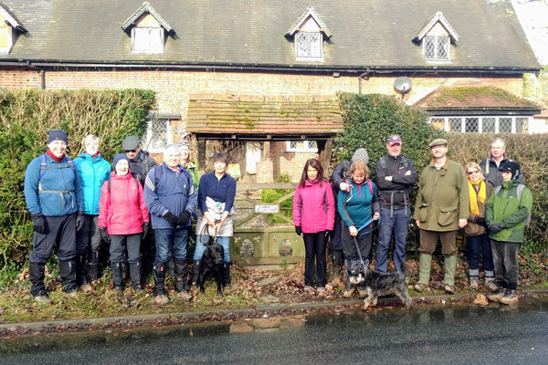
A 9 mile walk from Berkswell to Carol Green, Benton Green and Four Oaks then back to Berkswell via the Sixteen Acre Wood. The route is shown in the map below and includes parts of the Millennium Way, the Coventry Way and the Heart of England Way.
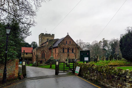
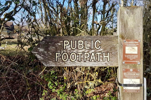
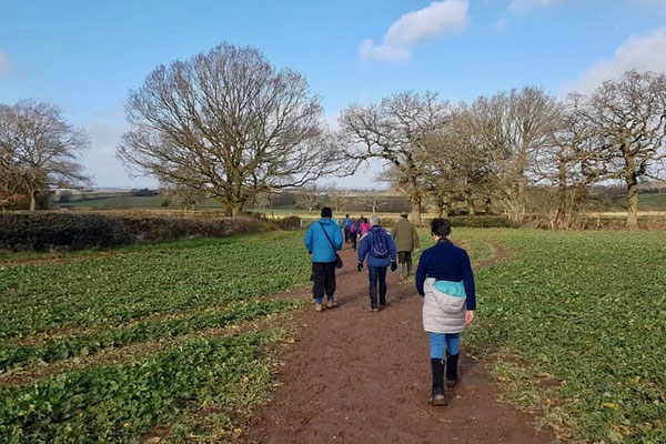
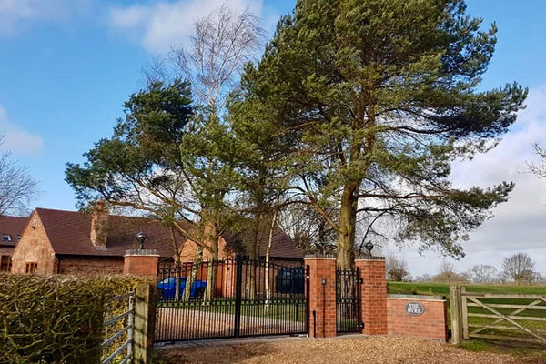
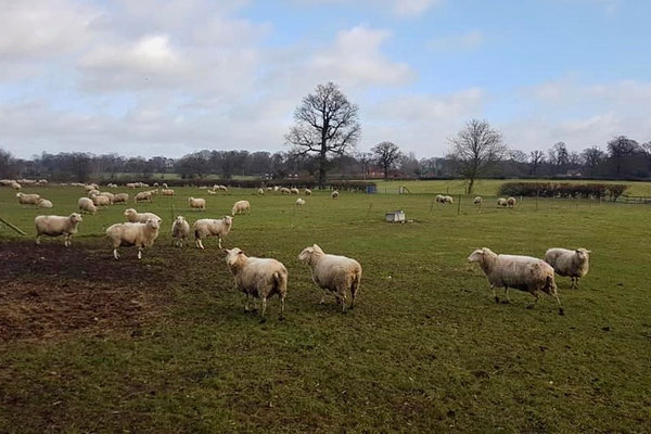
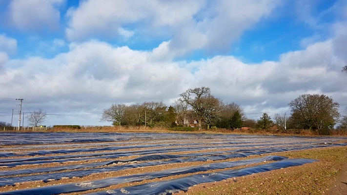
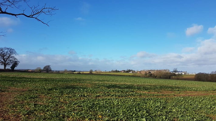
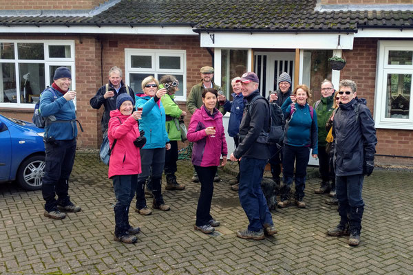
Most of the walk is on footpaths through fields; expect some mud, especially after heavy rain. The route begins from and ends at the Berkswell Village Car Park in the centre of the village beside the school and Berkswell Scout House. The car park entrance is at the junction of Lavender Hall Lane and Church Lane. For Sat Navs try searching for Berkswell Scout House (Google Maps), Church Ln, Berkswell, Coventry CV7 7BJ. The Bear Inn is close by and offers a pleasant stop after the walk for a drink and/or a meal. Walkers are welcome.
A map of the route and a link to a GPX file follow below the photos.


Click the Learn more button above to open the map in Outdooractive from where you can download the route to the free Outdooractive app for Android or iOS, or export the route to a GPX file for use in other apps. A GPX file for this route can also be downloaded from here. For more about using Outdooractive, and a list of all our routes with GPS files, see: GPS Routes
