
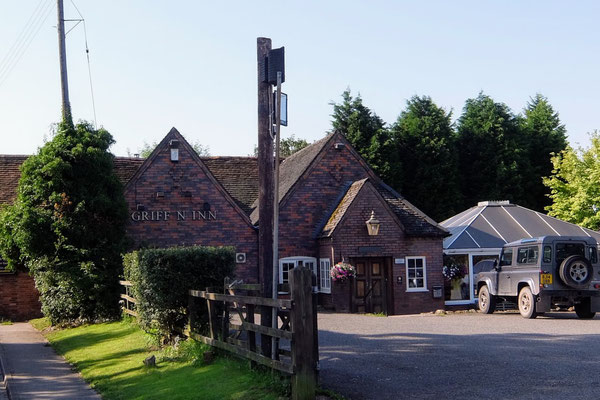
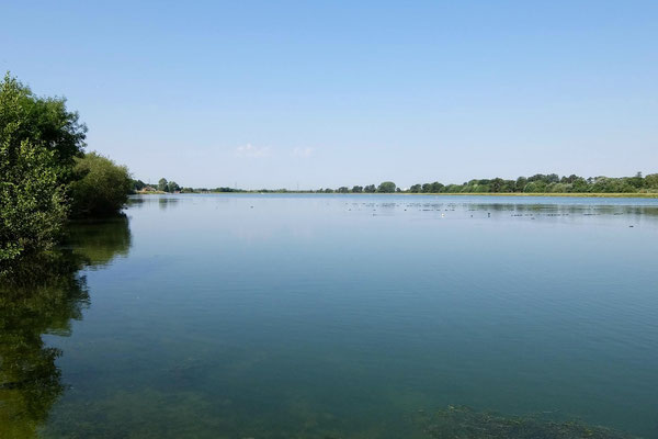
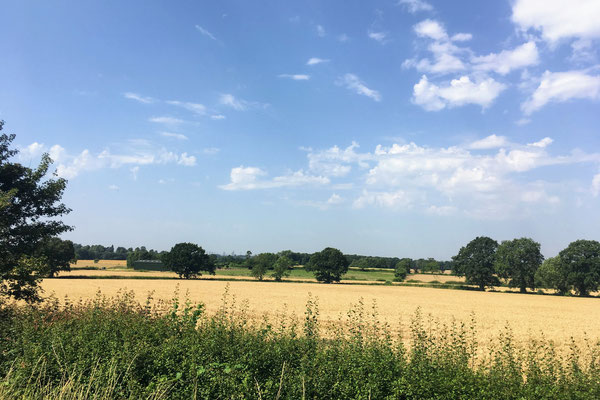
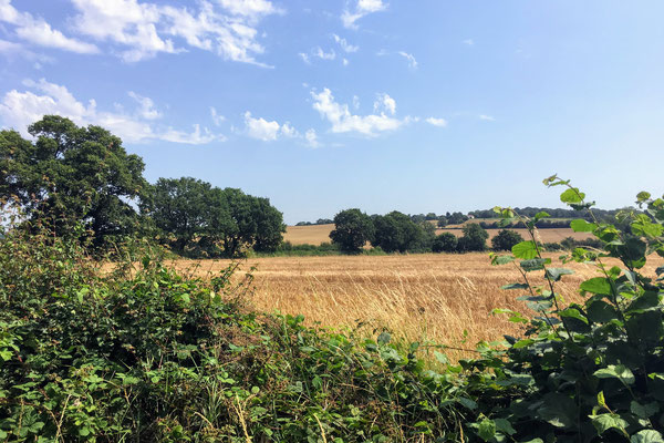
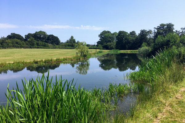
This walk of 8.7 miles (14 km) from the The Griffin Inn, Church Rd, Shustoke, Coleshill B46 2LB (Google Maps) through rural North Warwickshire follows a loop north to Foul End then back past the Shustoke Reservoirs to The Griffin. Some stretches are on quiet country roads but for the most part this walk is on footpaths through fields. When we walked this route, we left from the far end of the car park at The Griffin over a stile into the neighbouring field, then walked along the edge of the field, following the hedge beside the B4114. This short section is not marked as a footpath on the map, though had clearly used been used as one when we were there. The alternative is to leave the car park by the car entrance and walk down the B4114, but please take great care as the B4114 is a narrow, busy road with no pavement or footpath.
A map of the route and a link to a GPX file follow below the photos.
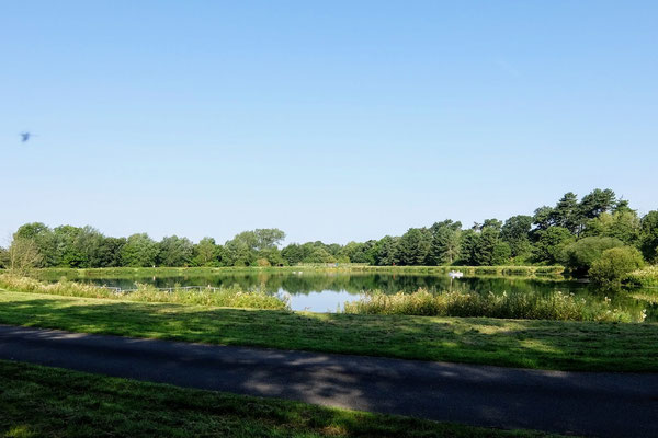
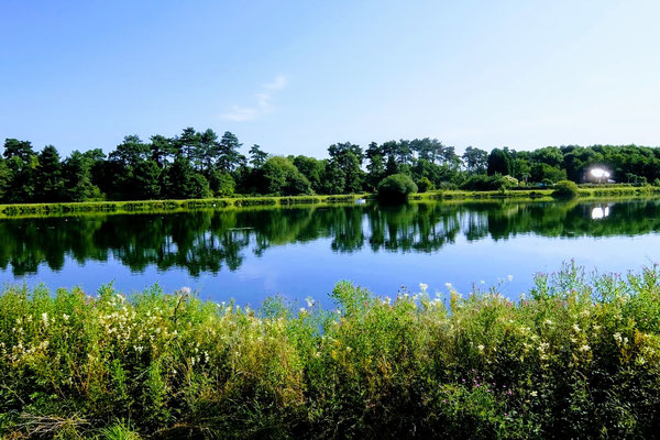
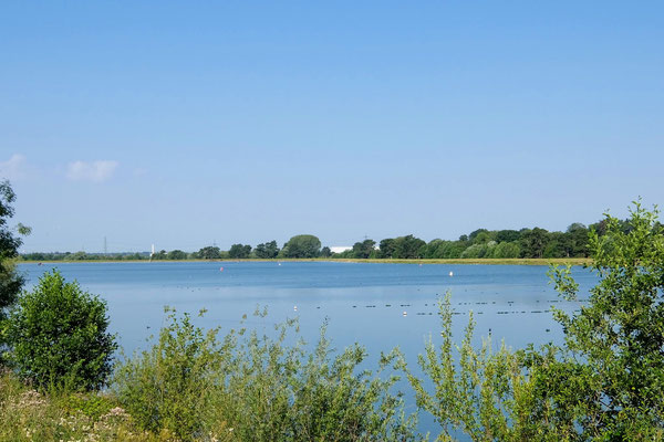
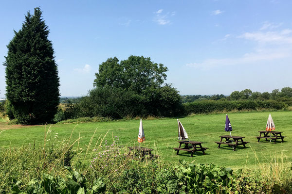
Photos from a recce walk on 25 Jul
Click the Learn more button above to open the map in Outdooractive from where you can download the route to the free Outdooractive app for Android or iOS, or export the route to a GPX file for use in other apps. A GPX file for this route can also be downloaded from here. For more about using Outdooractive, and a list of all our routes with GPS files, see: GPS Routes
