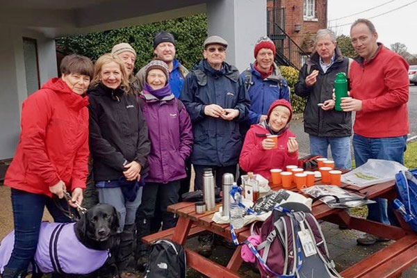
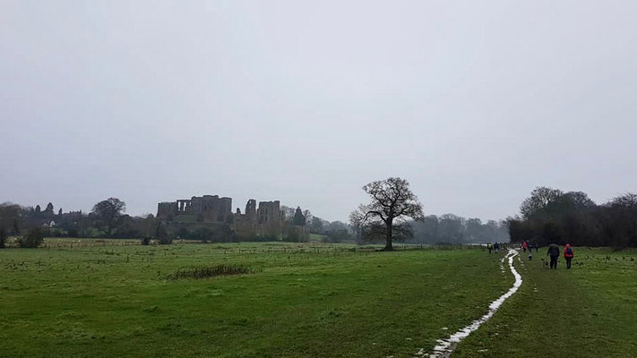
This walk started from the Abbey Fields carpark in Kenilworth, CV8 1BP. The car park is FOC on Sundays. The walk was approximately 8.5 miles long.
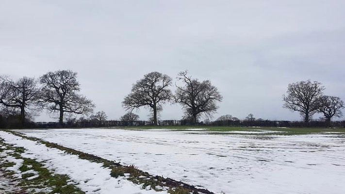
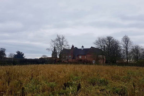
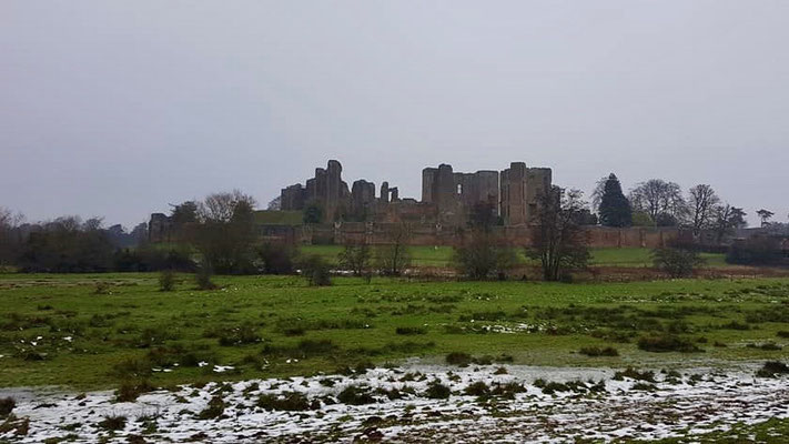
The walk commenced by crossing Abbey Fields to the road leading to the castle car park and turns right down a track just past the castle entrance. Go through a gate on the left to follow a path around the castle on the right to Purlieu Lane. Turn left along Purlieu Lane to a gate on the right way marked Millennium Way, proceed along Millennium Way across several fields to Chase Lane. Turn left on Chase Lane and continue past Chase Wood. Turn left at the end of Chase Wood down a farm track and then right at a way mark, through a hedge over a footbridge and up the a hill with the hedge close on the left, through a gate and turn left to another gate , Go through this gate and maintain direction across the field to a gate onto Church Road. Turn left onto Church Road and proceed past Honiley Hall and follow the road to Beausale keeping left at the screwed T-junction. Shortly past a cross roads with Dirty Lane turn left down Barracks Lane.
A map of the route and a link to a GPX file follow below the photos.
Click the Learn more button above to open the map in Outdooractive from where you can download the route to the free Outdooractive app for Android or iOS, or export the route to a GPX file for use in other apps. A GPX file for this route can also be downloaded from here. For more about using Outdooractive, and a list of all our routes with GPS files, see: GPS Routes
