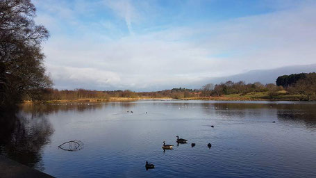
This walk was approximately 8 miles long and started from the car park of the Toby Carvery Sutton Park, Sutton Coldfield, B74 2YT (just inside the Town Gate of the park). The walk was around the perimeter of the park which is a 2,400 acre National Nature Reserve designated as a Site of Special Scientific Interest (SSSI). The park has open heathland, woodlands, seven lakes, wetlands and marshes - each with its own rich variety of plants and wildlife. Cattle and wild ponies graze on the land. Much of the walk is on semi-rough tracks with some wettish boggy areas. For more information about the park, and a map, please see Birmingham City Council website.
See below for photos from the walk, and a map of the route.

Click the Learn more button above to open the map in Outdooractive from where you can download the route to the free Outdooractive App for Android or iOS, or export the route to a GPX file for use in other apps.
For more about using Outdooractive, a list of all our routes with GPS files, and a link to folder with all our GPX files including HHIK0011.gpx, the file for this route, see GPS Routes.
